Historical Maps

The map collections of RBWM Museums & Libraries and Maidenhead Heritage Centre were scanned in 2017, aided by a grant from South East Museums and organised by volunteers from SL6.org.uk.

There are almost 500 local maps available. Most have been geo-located which means that, with the surrounding map borders removed, they can be viewed alongside contemporary maps in the Side-by-Side tool. All are available with their collars too.

Many other individual maps of historical interest were scanned. They can be accessed via the Individual Maps page.

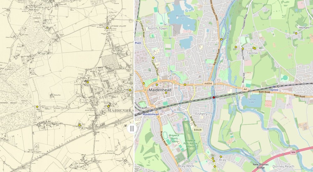
Side-by-Side

The side-by-side map is best viewed on a desktop or on phone screens sideways-on.

The left side has a selection of historical maps for Great Britain, and extra layers for the SL6 area (Maidenhead). Historic England data is also available; more can be accessed via the dedicated Historic England map.

The right side has a selection of contemporary maps and satellite images for comparison.

Land Registry land parcels have historical interest. Ghostly images of former road layouts are preserved in them.

The National Library of Scotland provides two of the historical layers. There is a monthly usage cap on this free service that may affect what you get.
Ordnance Survey

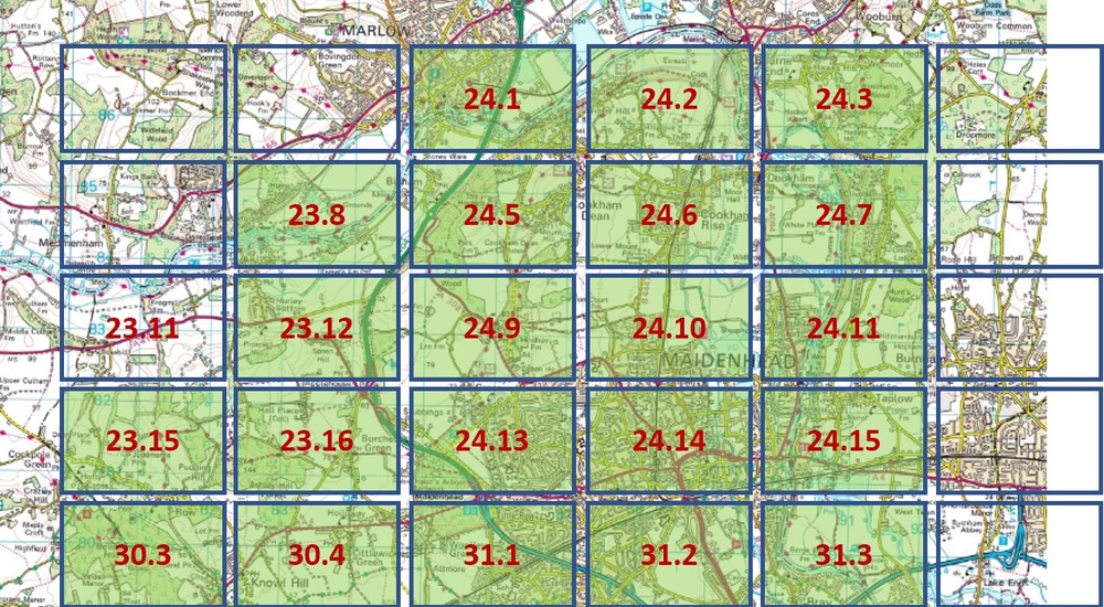
Detailed town plans were published by the Ordnance Survey in five major pushes from 1863 to 1968.

Individual sheets, with their collars, can be viewed by clicking on the links in this page.

The National Library of Scotland may have these maps but not all are online so far. SL6.org.uk remains the best source of local plans for the whole period.

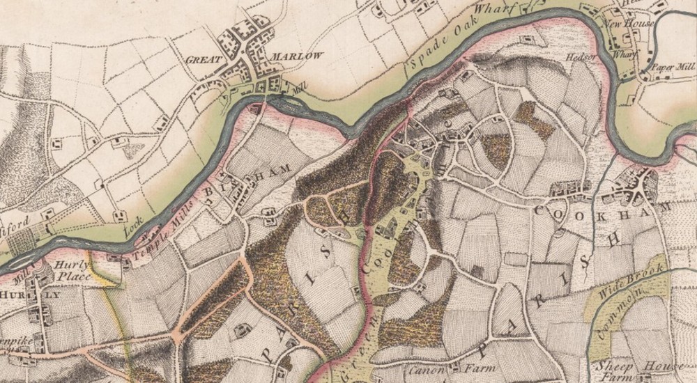
Individual Maps

Lorem ipsum dolor sit amet, consectetur adipiscing elit. Mauris ipsum neque, cursus id ex eget, hendrerit gravida eros. Etiam ut metus vitae urna commodo scelerisque.

Vivamus vitae magna id lorem pretium porta. Phasellus hendrerit dolor vel semper sagittis. Aliquam id facilisis velit, quis facilisis lacus.

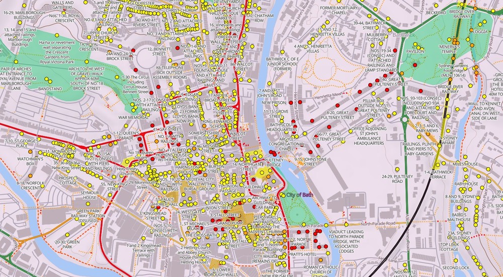
Historic England

Historic England listings cover buildings, parks & gardens, scheduled monuments, wreck sites and World Heritage sites. There is also a partial aerial survey which uncovers ancient features in the landscape.

The map above is of the City of Bath. The purple hue is its status as a World Heritage Site.

The base map Land Use layer is OFF by default so as not to crowd out historical features. Turn it ON for context.