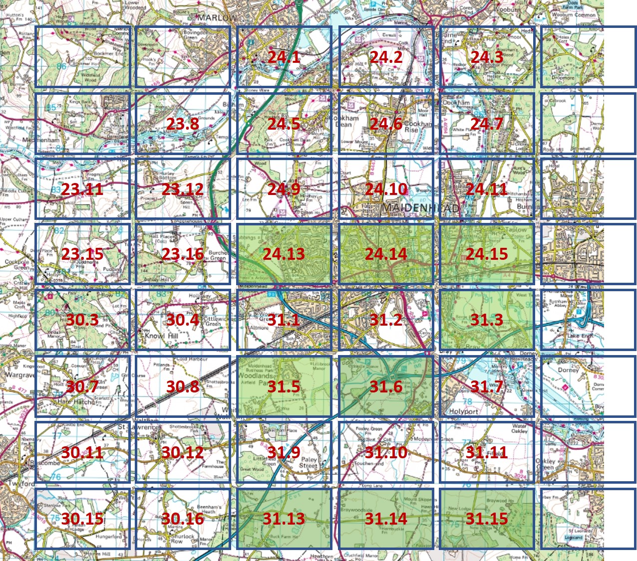
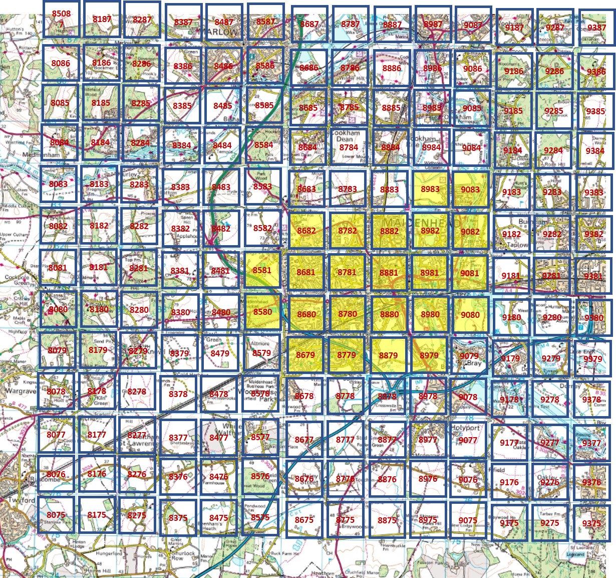
Ordnance Survey maps

Individual sheets, with collars

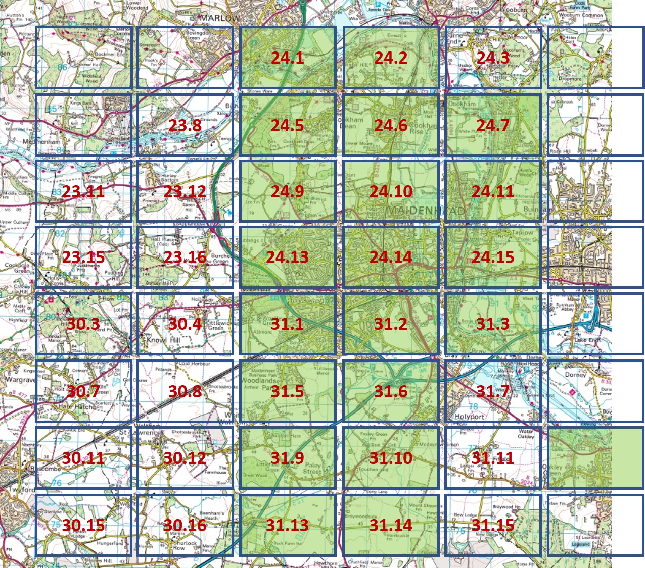
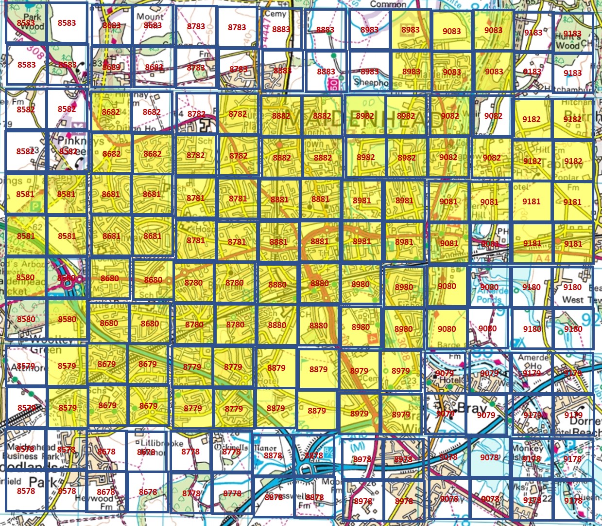
Click on a hotspot to open the map viewer.  Copies can be downloaded free-of-charge as JPG files

The side-by-side map is best for viewing these sheets joined together


Ordnance Survey 1:2,500 1866-73

The following maps are outside the grid area.  Click to open.

Windsor Forest
Burnham North
Burnham South

Ordnance Survey 1:2,500 1897-99

The following maps are outside the grid area.  Click to open.

Eton Wick. Sheet 32.5
Eton, Upton. Sheet 32.6
Windsor, Clewer. Sheet 32.9
Windsor Castle, Datchet. Sheet 32.10
Dorneywood (Burham). Sheet 52.8
Burnham. Sheet 52.12

Ordnance Survey 1:2,500 1911-13

The following maps are outside the grid area.  Click to open.

Eton Wick. Sheet 32.5
Windsor Castle, Datchet. Sheet 32.10
Clewer South. Sheet 32.13
Binfield. Sheet 38.4
Hawthorn Hill Sheet 39.2
South of Ascot. Sheet 47.8

Ordnance Survey 1:2,500 1925-40

The following maps are outside the grid area.  Click to open.

Eton, Upton. Sheet 32.6
Windsor, Clewer. Sheet 32.9
Windsor Castle, Datchet. Sheet 32.10
Clewer South. Sheet 32.13
Old Windsor. Sheet 32.14
Sunninghill Park. Sheet 39.12
Ascot. Sheet 39.16

Ordnance Survey 1:2,500 1955

The following maps are outside the grid area.  Click to open.

Cockpole Green. Sheets SU7881 & SU7981
Remenham Hill. Sheets SU7882 & SU7982