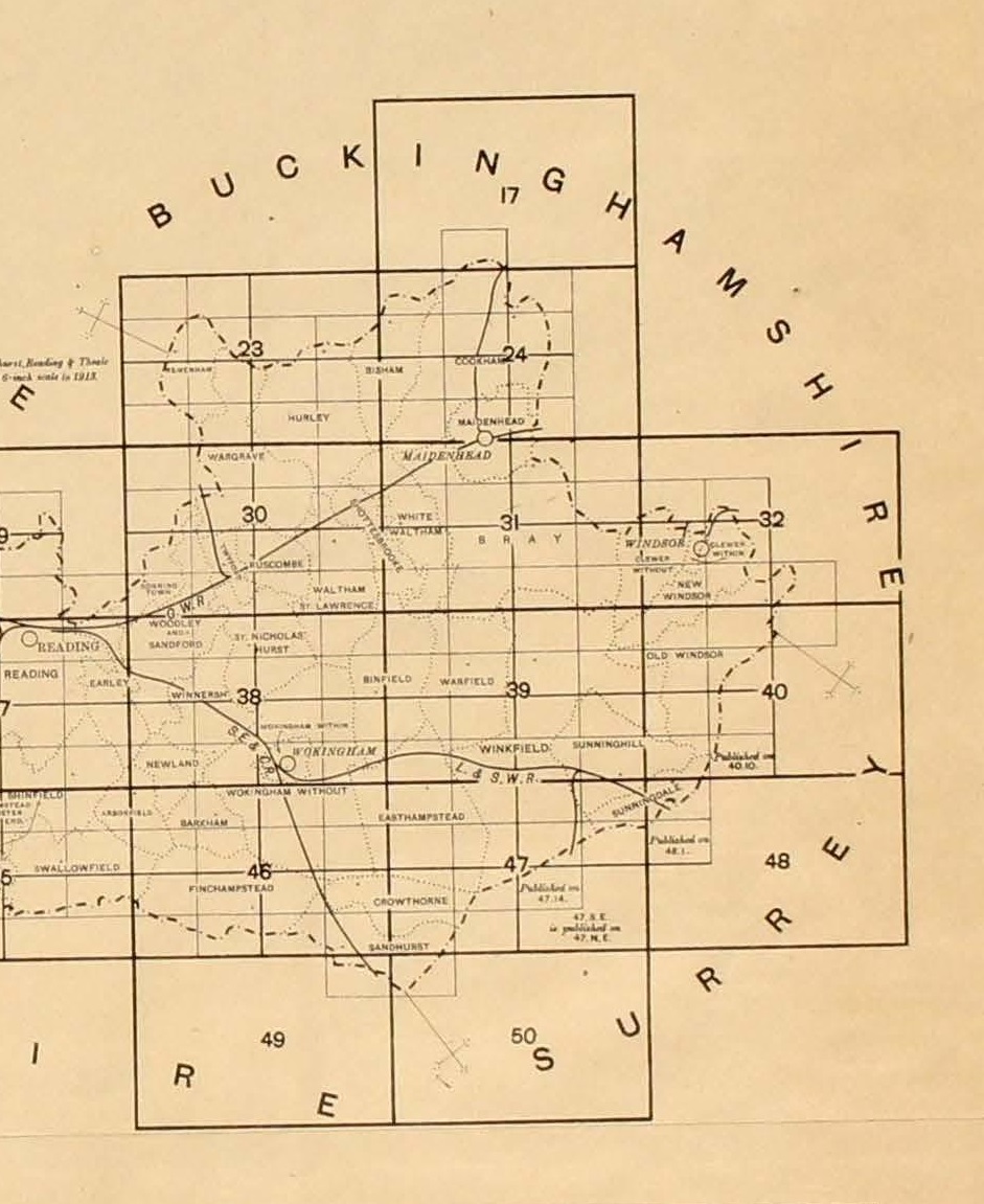
Berkshire Atlas
The Berkshire Atlas was published by the Ordnance Survey in the early 1920s at a scale of 1:10,560, and bound into volumes. The maps available are from the volume covering East Berkshire.
Click one of the hotspots below to open a map.
Berkshire Atlas map index (complete). Click to open